Recent searches
Search options

#GeoAI
1 post1 participant0 posts today
Australian geospatial thought leadership has a massive boner for geoAI right now - as in the JMSU, 1m resolution magicked from 10m data variety. Not the mislabeled statistical model variety.
...and a sane "people, have you not watched this approach fuck up every single thing so far?" approach is just not tolerable.
Better go make a picture of myself as an action figure. Maybe thats how to get hired?


#torchGeo Release v0.7.0
https://www.osgeo.org/community-news/torchgeo-release-v0-7-0/
torchGeo is a #PyTorch domain library designed to make it simple for #machineLearning experts to work with #EO data, providing datasets, samplers, transforms, and pre-trained models specific to #geospatial data.
The quest for a fair TimeGPT benchmark
At the end of yesterday's #TimeGPT for mobility post, we concluded that TimeGPT's trainingset probably included a copy of the popular BikeNYC timeseries dataset and that, therefore, we were not looking at a fair comparison ...
http://anitagraser.com/2025/03/29/the-quest-for-a-fair-timegpt-benchmark/
Free and Open Source GIS Ramblings · The quest for a fair TimeGPT benchmarkAt the end of yesterday’s TimeGPT for mobility post, we concluded that TimeGPT’s trainingset probably included a copy of the popular BikeNYC timeseries dataset and that, therefore, we w…
TIL about a new European data-driven weather forecasting model, the Artificial Intelligence/Integrated Forecasting System (AIFS) that outperforms leading physics-based global numerical weather prediction
https://www.ecmwf.int/en/newsletter/178/news/aifs-new-ecmwf-forecasting-system
ECMWFAIFS: a new ECMWF forecasting system
Free and Open Source GIS Ramblings · Can foundation models outperform classic machine learning models for mobility predictions?tldr; Maybe. Preliminary results certainly are impressive. Introduction Crowd and flow predictions have been very popular topics in mobility data science. Traditional forecasting methods rely on cl…
GeoAI: State-of-play in 2025: The Innovation Booster #ArtificialIntelligence has released a concise review of #GeoAI in Switzerland. The report highlights significant players, innovations, and developments in the field, showcasing how #AI is being integrated into #GIS...
https://spatialists.ch/posts/2025/03-25-geoai-state-of-play-in-2025/ #GIS #GISchat #geospatial #SwissGIS
spatialists.ch – geospatial newsGeoAI: State-of-play in 2025 – spatialists.ch – geospatial news
More from  Spatialists
Continued thread

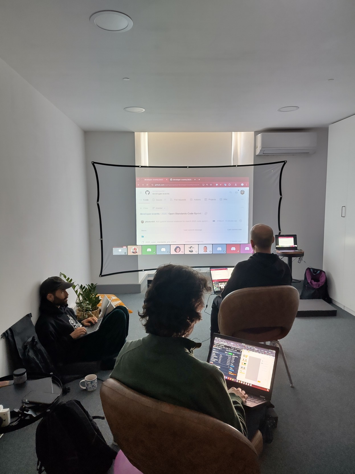
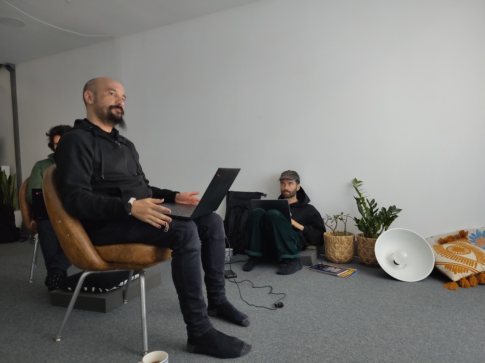
Now starting the #tutorial about #trainingDML-AI , by Daniel Moreno #carbonspace #ai #geoai #codesprint25 #standards #mentorstream

Paper Alert 
Can we use AI and social media posts to predict pandemic outbreaks?
A study by David Hanny et al. presents a new GeoAI framework that integrates mobile phone data and geo-referenced social media posts to assess their relationship with COVID-19 incidence rates in Rio de Janeiro.
The findings show that social media activity related to COVID-19, tourism and leisure activities strongly correlates with infection rates.

AI tools and open geodata can help humanitarian practitioners in taking informed decisions, optimizing operations, and fostering community resilience with disaster risk reduction and anticipatory action.
We are looking forward to discussing emerging technologies at the Humanitarian Networks and Partnership Weeks 2025:
 Session "GeoAI in Action: Practical Tools for Humanitarian Impact"
 Sukanya Randhawa
 24 Mar 25, 11:00-12:30
 Geneve
  & online
 https://heigit.org/events/geoai-in-action-practical-tools-for-humanitarian-impact-at-hnpw/

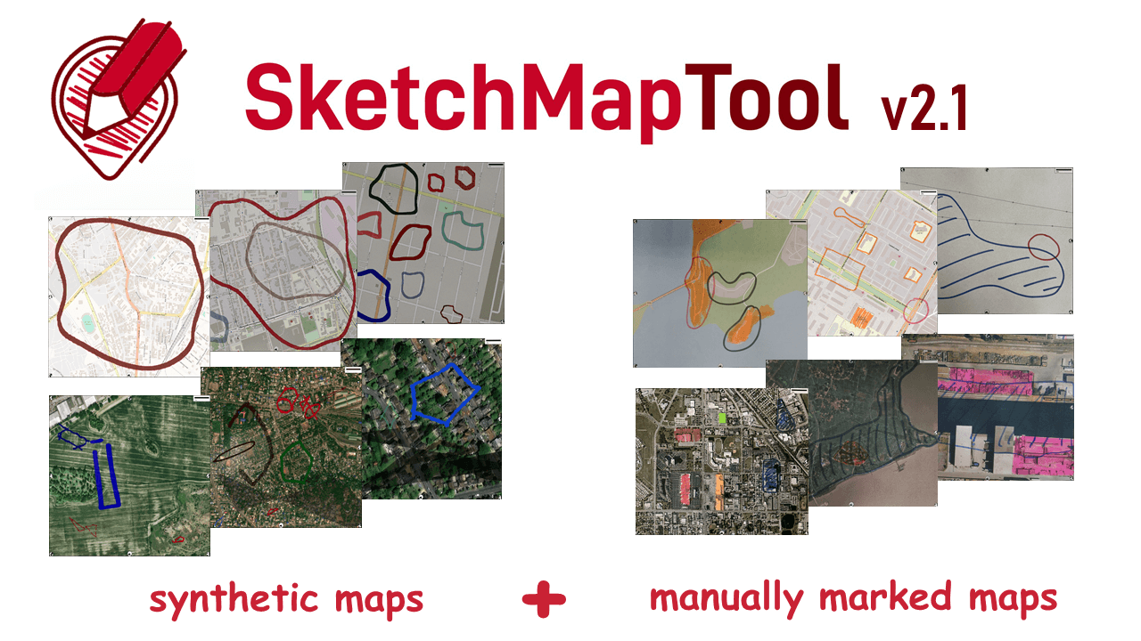
We have released #SketchMapTool v2.1!
This version uses a larger training dataset and an updated machine learning model for sketch detection to deliver a higher accuracy in digitizing hand-sketched markings.
Sketch Map Tool is an open-source web app for participatory mapping that enables the creation, digitization, and analysis of paper maps.
 Read about SMT v2.1 and access the training dataset & ML model: https://heigit.org/digitizing-maps-with-sketchmaptool-v2-1-enhanced-sketch-detection-and-global-impact-2/
 Try it out: https://sketch-map-tool.heigit.org/
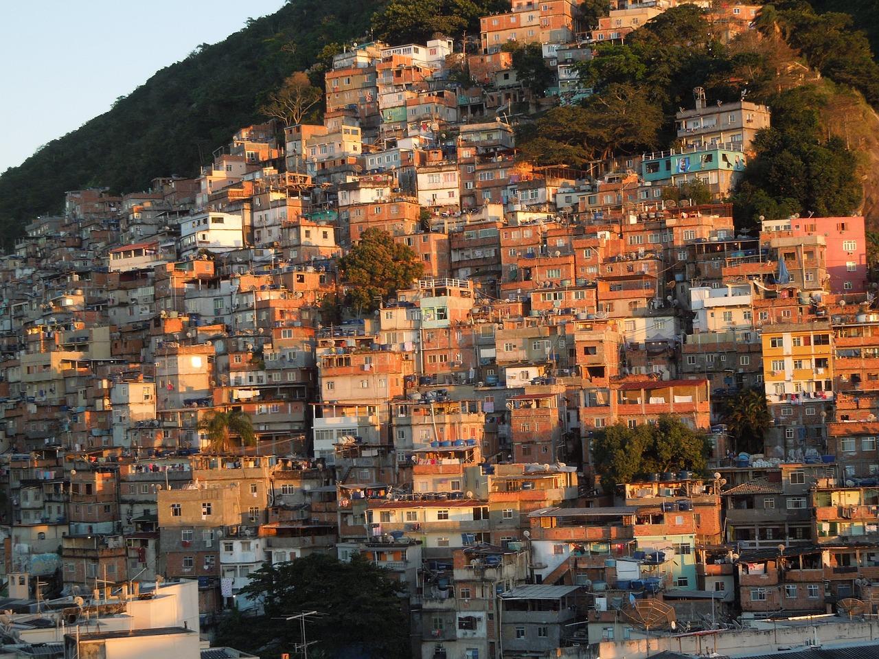
This new paper by Steffen Knoblauch et al. explores how students are exposed to crime while commuting to schools in Rio de Janeiro  .
.
Relying on GeoAI techniques, the study reveals inequalities in geographic access to education -- dispute areas increase travel time to the nearest school by 49%.
 A concise overview of the study: https://heigit.org/new-paper-crime-associated-inequality-in-geographical-access-to-education-insights-from-the-municipality-of-rio-de-janeiro/ Full paper: https://www.sciencedirect.com/science/article/pii/S0264275125001180?via%3Dihub

 Greg Cocks
 Segment Anything Model Can Not Segment Anything - Assessing AI Foundation Model’s Generalizability In Permafrost Mapping
--
https://doi.org/10.3390/rs16050797 <-- shared paper
--
#GIS #spatial #mapping #remotesensing #foundationmodel #AI #artificialintelligence #zeroshot #segmentation #GeoAI #spatialanalysis #LargeLanguageModel #LLM #SAM #performance #metrics #permafrost #visionmodel #icewedge #Arctic #warming #climatechange #thawslumps #landform #terrainmapping #EuroCrops #agriculture

 and CLIP (right of the dashed line) and their combined workflow for instance segmentation")
![maps/images - Results from knowledge-embedded learning with SAM. The results are those after fine-tuning. The images are the same as those in [other figure.]](https://files.techhub.social/media_attachments/files/113/953/076/805/098/822/original/ae0b32cb15f6783a.png "maps/images - Results from knowledge-embedded learning with SAM. The results are those after fine-tuning. The images are the same as those in [other figure.]")


New video: explore deep learning models in #QGIS with the Deepness plugin. Segment or detect features from #RemoteSensing images. #GeoAI #MachineLearning #GIS youtu.be/xCKVqjeihbU
Deep Learning in QGIS with the...
Bluesky SocialBluesky


New video: explore deep learning models in #QGIS with the Deepness plugin. Segment or detect features from #RemoteSensing images. #GeoAI #MachineLearning #GIS https://youtu.be/xCKVqjeihbU
I really enjoyed the interdisciplinary collaboration sparked by the gAia project on predicting #landslides, resulting in our recent #preprint:
 "Visualizing uncertainties in landslide susceptibility modeling using bivariate mapping"
nhess.copernicus.orgBrief communication: Visualizing uncertainties in landslide susceptibility modeling using bivariate mappingAbstract. Effectively communicating uncertainties inherent to statistical models is a challenging yet crucial aspect of the modeling process. This is particularly important in applied research, where output is used and interpreted by scientists and decision makers alike. In disaster risk reduction, susceptibility maps for natural hazards are vital for spatial planning and risk assessment. We present a novel type of landslide susceptibility map that jointly visualizes the estimated susceptibility and the corresponding prediction uncertainty, using an example from a mountainous region in Carinthia, Austria. We also provide implementation guidelines to create such maps using popular free and open-source software packages.
la mia video intervista per il festival di "Informatici Senza Frontiere" sul tema mappe ed intelligenza artficiale
#geoai
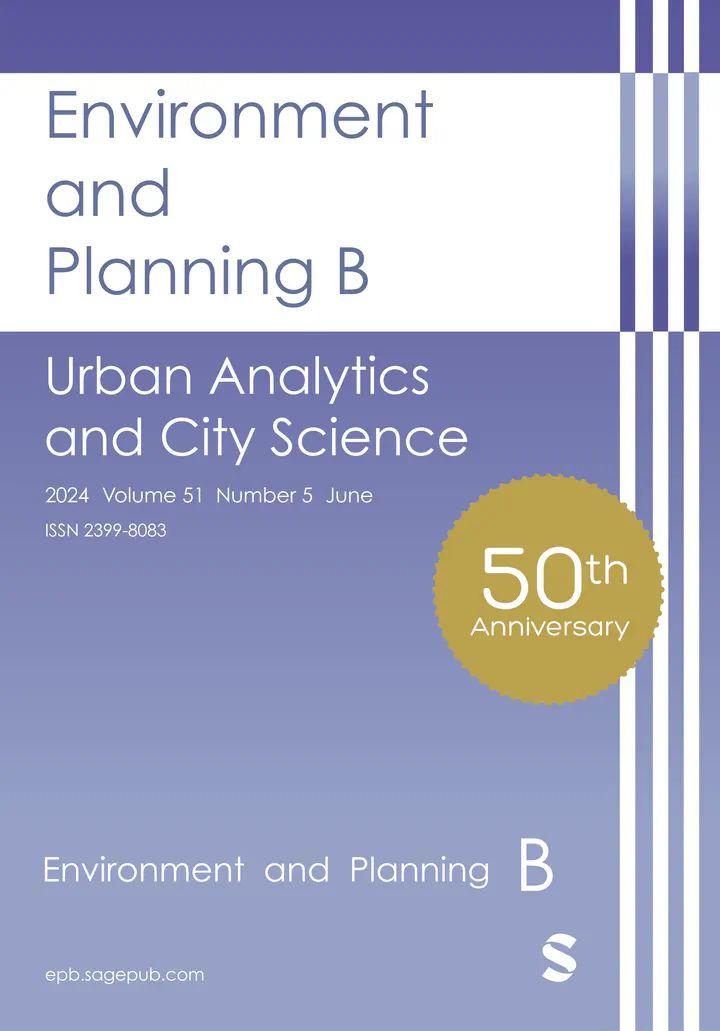
 Call for Papers
Only a few days left for submissions to the EPB special issue on "Urban AI for a Sustainable Built Environment in Environment and Planning B: Urban Analytics and City Science"!
Submit your work on AI, spatial computing and urban studies until January 31.
Info: https://journals.sagepub.com/page/epb/collections/special-issues
New Video: Exploring the Kue plugin: an #AI Chatbot for #QGIS by @buntinglabs.bsky.social 
 Simplify geoprocessing tasks with AI. Highlights: installation, base maps, styling, analyses & more.
 Subscribe for more! #GeoAI #GIS #gischat youtu.be/hQJ1SuyyvT8
Exploring the Kue Plugin: An A...
Bluesky SocialBluesky
New Video: Exploring the Kue plugin: an #AI Chatbot for #QGIS by #BuntingLabs
Simplify geoprocessing tasks with AI. Highlights: installation, base maps, styling, analyses & more. Subscribe for more! #GeoAI #GIS https://youtu.be/hQJ1SuyyvT8