Replied in thread
@vera haha genau so. Nach dem Export kannst du sie bestimmt auch in dein Navi laden und Tritt- & Herzfrequenz und Powermeterdaten dazu mischen.

@vera haha genau so. Nach dem Export kannst du sie bestimmt auch in dein Navi laden und Tritt- & Herzfrequenz und Powermeterdaten dazu mischen.
Can anyone here tell me which bike GPS brands can work without connecting to a smartphone app?
I want to be able to update maps and upload GPX traces from my laptop without installing anything. Usage is for bike touring, I don't care about counting Watts, heartbeats or whatever.
From what I see IgSport allows for that. What's the status for other brands?
Est-ce que la team #Cyclo peut m'indiquer quels GPS pour vélo peuvent être utilisés sans appli smartphone?
Je veux juste pouvoir mettre à jour les cartes et mettre un GPX depuis mon ordi (sans avoir à installer un logiciel dessus) pour pouvoir le suivre (pour un usage touring/bikepacking principalement, je me tamponne de mesurer mes watts/mon rythme cardiaque etc...)
J'ai l'impression que les gps IGsport le permettent.
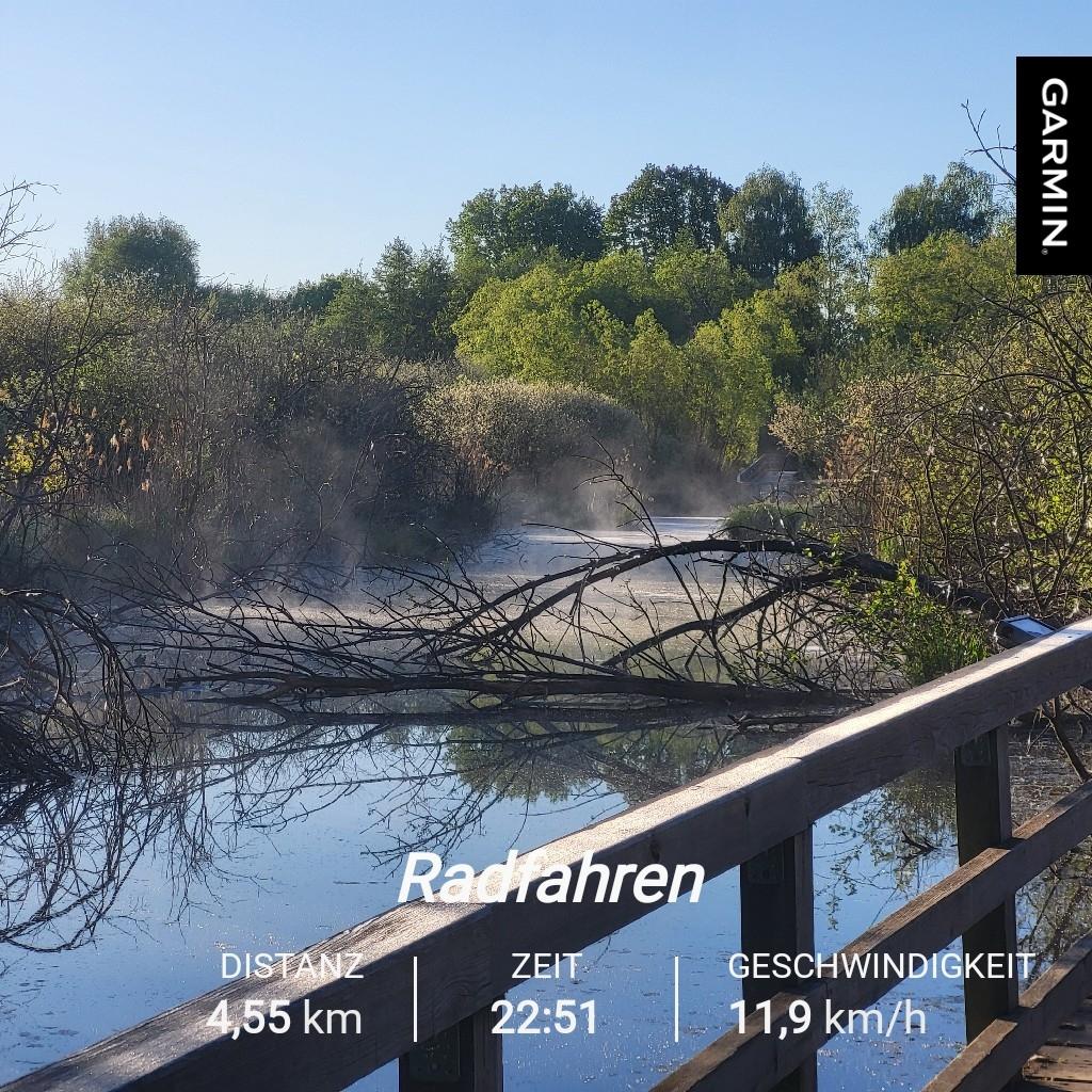
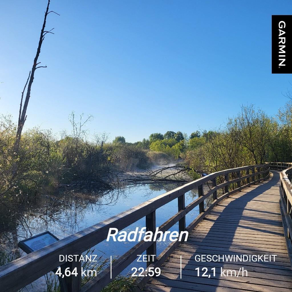
Mit dem Rad zur Arbeit und wieder zurück.  Heute morgen war es echt sehr kalt
My usual 15km trail run, squeezed in today around lunchtime because it was pouring with rain before and after. On top of that, the temperature plummeted from almost 30°C at the weekend to 8°C today ... But what can you say, it's spring and after the rain the vegetation almost seems to explode ...
Some trails turn into a swamp, but after all, what's the point of having proper #TrailRunning equipment 
#Garmin #BeatYesterday #Running #Tirol #Laufen @running #RunnersOfMastodon

Today my run took me along the Donau river to the World Athletics Championship Stadium in Budapest. To my surprise the upper ring is freely accessible as training area! There's a 600m round track and several training devices along the side. Places to sit, some devices for children to play on and even toilets. Since it was 25°C outside the shade was very welcome. This is a thing they do really good here, public facilities, parks, tracks, playground

https://apps.garmin.com/apps/e8c88d36-2dc2-45d1-be53-f325a963459f myślę ze dla tych co bawią się w sqadrats :) to bardzo dorba wiadomość #squadrats #garmin #rower @rower
Lifehack if you need a few more steps on your #Garmin to keep up your streak:
Using a hand mill to grind some coffee very effectively pushes the "step" count.
EDIT : solution en réponse à ce message.
Chère #cyclosphère,
Depuis ma dernière mise à jour de cartes sur mon #Garmin Edge 830, toutes mes tentatives de calcul d’itinéraire se terminent en erreur. Suis-je le seul à avoir ça ou est-ce que Garmin a sérieusement merdé quelque chose ?
(La version du firmware est 9.75 et les cartes sont en 2024.20. J’ai déjà tenté la réinitialisation usine et la réinstallation des cartes, sans effet.)
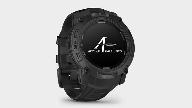
Garmin Instinct 3 Tactical Edition: Taktische Smartwatch mit AMOLED- oder Solar-Display https://www.computerbase.de/news/wearables/garmin-instinct-3-tactical-edition-taktische-smartwatch-mit-amoled-oder-solar-display.92339/ #Garmin #Smartwatch
I think i found a good way to visualize runs and might work even when comparing similar ones, but in the meantime if you want to create a 3d elevation profile of your workout give this a go:
https://www.curbal.world/upload
I know that if the track is too long the lap numbers will overlap and there are a ton more improvements that can be done, but it is a start.
Also know that it is hosted on pythonanywhere as a small app, it might crash…
#runnersofmastodon #running #run #garmin #gpx
Going to 

@sphericalcyclist@digitalcourage.social
Mit dem #Garmin #Edge1040 fahre ich ohne jede Energiesparfunktion / abgeschalteten Funktionen 8-9 Touren à 4+ (teils deutlich +) Stunden. Dann ist der #Akku bei 15-20%.
The battery of my laptop died so no more work.
I got this far: (see image)

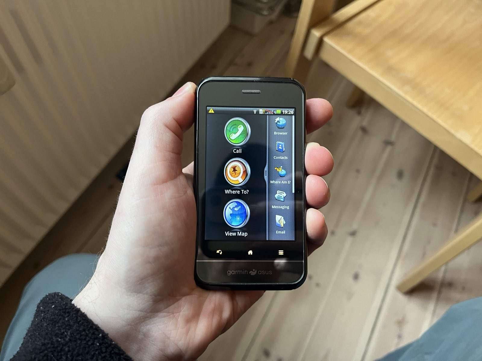
Family member was clearing out old stuff and found this old Garmin Asus (A10) phone and honestly... I dig it so bad! Glorious skeuomorphic design.
I ordered a Sim adapter to big old ones, and then Ill try it for a few days to see how it is to daily.
It can.. sort of navigate, only big roads are displayed, but otherwise I hope the battery is still decent.
Will report back end of next week!
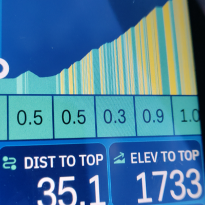
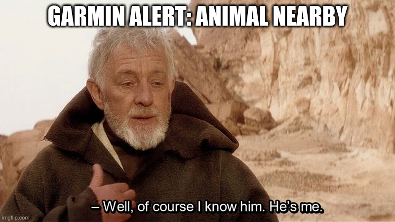
On the scale of 0-100, how useful is this silly alert when cycling? I don’t even know what it means.
Onko olemassa hyvää ja sievää urheilukelloa hyvin siroranteiselle feminiiniselle ihmiselle? Minulla on ollut vuosia #Fitbit (ensin Alta ja sitten Luxe), mutta nyt se on siirtynyt Googlelle ja kellokin sopivasti meni rikki. Ainoa silmää miellyttävä ja melko siro löytämäni vaihtoehto on #Garmin Lily 2 classic, mutta sekin on 35 cm ja näyttää isolta, eikä jenkkifirma houkuttaisi. Polarin pieninkin on valtava. Mitäs muita vaihtoehtoja on?