Open for space and healthcare hackathon in Innsbruck in May?
Besides working on new ideas you'll also get to work with Copernicus & Galileo data. I'll be there, you too?

Open for space and healthcare hackathon in Innsbruck in May?
Besides working on new ideas you'll also get to work with Copernicus & Galileo data. I'll be there, you too?
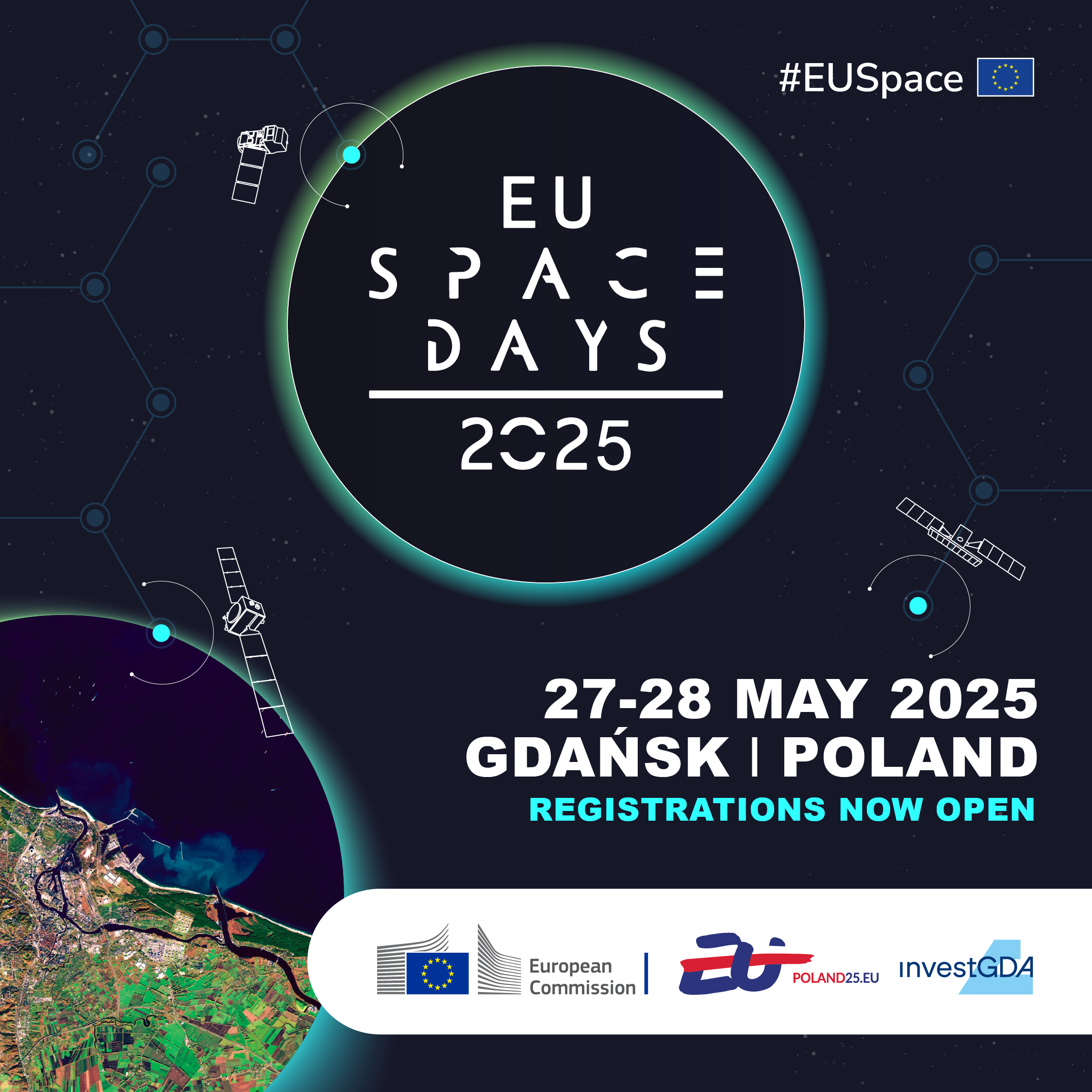
Coming soon: EU Space Days 2025 in Gdańsk, Poland, 27–28 May!  Dive deep into space policy, innovation, and business and discover how initiatives like Galileo and Copernicus are shaping our future. With dynamic sessions and strategic networking, it's your gateway to the future of space! Spaces limited.
Secure your spot.
#EUSpace
https://defence-industry-space.ec.europa.eu/eu-space-days-2025_en
 EUROPE
  ESA Launches $182M Plan to Boost Commercial Rockets
 New “Launcher Challenge” seeks private EU firms to orbit payloads from 2026–2030. ESA drops rigid control—no specs on reusability or rocket size. Funding hinges on home countries backing winners (France, Germany, Norway). Aim: End reliance on Russia & SpaceX, build EU launch independence.
RT by @CopernicusEU:  Join the #EUSpace Networks! We are looking for organisations to promote EU space data and services.
Apply today as an organisation to become an EU Space Ambassador.
 https://qrco.de/bflFtl
---
https://nitter.privacydev.net/defis_eu/status/1894299292296233394#m
RT by @CopernicusEU: EU Earth observation satelite system Copernicus warns you: 2024 was the warmest year on record and the first to exceed 1.5°C above pre-industrial level.
The Global Climate Highlights Report 2024 urges us for a bold climate action to protect our planet.  #EUSpace #ClimateAction
---
https://nitter.privacydev.net/KubiliusA/status/1877599627194593518#m
RT by @CopernicusEU: Less than a week after its successful launch, @CopernicusEU Sentinel-1C delivers its first radar image of our planet.
The Sentinel-1 mission greatly benefits agricultural regions, like the one of Flevoland  seen below, by monitoring crop growth, among others.
Less than a week after its successful launch, @CopernicusEU Sentinel-1C delivers its first radar image of our planet.
The Sentinel-1 mission greatly benefits agricultu...
---
https://nitter.privacydev.net/KubiliusA/status/1866467179169738883#m
RT by @CopernicusEU: When biodiversity meets outer space.
@EU_Copernicus provides key data and services to monitor wildlife and ensure strong conservation actions.
As we advance the EU’s commitment to combating biodiversity loss at COP16, #EUSpace helps face our planet’s environmental challenges ↓
[2024-10-25 07:00 UTC]

How would you describe our planet from space?
For us, it's just breathtaking. And we want to keep it that way.
With satellite and ground instruments, the Copernicus Programme provides real-time data and climate forecasts to protect our unique and vulnerable biodiversity.
On Earth as in space.
During COP16 in Colombia, we are highlighting the EU’s commitment to tackling biodiversity loss with integrated solutions.
#EUSpace can help make a difference  https://europa.eu/!6JnwGx


 Earth’s challenges, we are ready!
The EU’s Copernicus Programme provides crucial Earth observation data to enhance prevention, response, and recovery efforts, including:
 Rapid mapping during floods and wildfires Early warning systems for floods, wildfires and droughts Climate change data to support adaptation and mitigation policies
On International Day for Disaster Risk Reduction, we’ve got your back and our planet’s too.
This is #EUSpace in real life: https://europa.eu/!rFxDpJ


RT by @CopernicusEU: The countdown has officially started for the launch of @CopernicusEU #Sentinel-1C.
 Mark your calendars
 December 3, 2024, at 6:20 p.m. (Kourou Time)
[2024-10-10 10:11 UTC]

Found : Starlink-1785 fits STARLINK-5537 TLE!
@tiny__GS community of 1600+ ground stations is enhancing Space Situational Awareness by matching TLEs worldwide.
Follow it in realtime here https://tinygs.com/satellite/Starlink-1785
Space can help solve Earth's pressing problems.
Copernicus uses high-res satellite imagery and other non-space data to protect Europeans and nature with:
Climate data Ozone analysis Wildfire tracking
 Air, water quality
 Volcano monitoring Marine pollution, flood risks
And that's the tip of the iceberg (yes, we keep an eye on that too).
The EU’s Earth Observation Programme offers many opportunities for jobs and innovation.
This is #EUSpace in real life: https://europa.eu/!rFxDpJ


RT by @CopernicusEU: It's been almost a week since the successful launch of Copernicus Sentinel-2C into space.
Want to know more about the mission and the products/services it will deliver? 
Watch this short  and share with your fellow #EarthObservation enthusiasts.
[2024-09-13 13:50 UTC]

RT by @CopernicusEU: A new @CopernicusEU is now in 
''Sentinel-2C'' will continue providing data to help us address, among others, pressing environmental issues such as wildfires, floods, and droughts.
Read more: https://europa.eu/!b7gtjW
[2024-09-05 10:23 UTC]

RT by @CopernicusEU: @CopernicusEU #Sentinel2C sent its first  at 05:02 CET.
The satellite will spend the coming months being calibrated before we get to see its first  of our planet.
 to all the teams working relentlessly to make this mission a success for the and Europe!
[2024-09-05 03:22 UTC]

Our finest eye on Earth was launched.
At 03:50 CET, our Copernicus Sentinel-2C satellite launched aboard a Vega rocket from  Kourou, French Guiana.
It will capture a wide portion of our planet in high resolution, spanning a spectrum from the visible to the shortwave infrared.
The satellite will monitor vegetation, soil, water, and urban areas enabling scientists, public authorities and companies to tackle existential challenges and boost growth.

RT by @CopernicusEU:  It's the final countdown!
The Vega carrying our @CopernicusEU Sentinel-2C is ready for liftoff in exactly 18 hours from now!  (Tomorrow at 3.50 AM. CET)
A bit late, we know, but if you're a night owl, you can watch it live with us

https://youtube.com/live/BZzcOxxeMyA?feature=share
[2024-09-03 07:49 UTC]

RT by @CopernicusEU: Guess who is getting ready to shoot for #EUSpace  ️
️
@CopernicusEU Sentinel-2C has arrived to the launchpad.
On a scale from 1 to 10, how excited you are for the lift-off?
[2024-08-27 13:13 UTC]

Our conference has been backed by Copernicus Data Space Ecosystem (CDSE): an initiative of the European Space Agency and the European Commission that is revolutionizing the processing and distribution of Copernicus Earth Observation (EO) data.
The project is being implemented by industrial consortium partners: T-Systems, CloudFerro, Sinergise, VITO, DLR, ACRI-ST, and RHEA.
#StateoftheMapEurope
#OSM
#OpenStreetMap #CDSE #Copernicus #EarthObservation #SatelliteData #CopernicusEU #EUspace #EOdata
, ACRI-ST, RHEA")
Satellite Match! Starlink-4674 corresponds to STARLINK-31944 TLE. #EUSpace #spacetrack
Follow it in realtime here https://tinygs.com/satellite/Starlink-4674